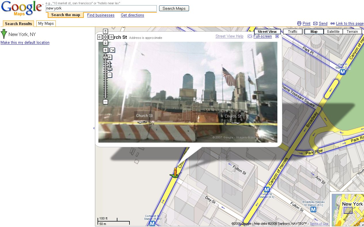
Google Maps new feature, Streetview!
It looks like they’ve hooked up a laptop and gps to a van with a 360° camera and taken photos of the streets every 5m or so.
I remember reading about the technology and they can make 3D scans of the buildings at the same time. Pretty nifty.
In case the above link doesn’t work try the Tiny URL version http://preview.tinyurl.com/2hc4ma
I suggest you try clicking on the blue roads and having a look around. The links above go to the road next to the World Trade Centre site.